Monitor the water table
Monitor
![]()
Log
![]()
Know

USP’s of the LevelLog
By developing the LevelLog environment we responded to the demand of storing, controlling and managing groundwater level measurement data. The collected data is easy to validate and to distribute to various hydro portals, where the results can be processed to the specific needs of the end user.
The state-of-the-art technique
Characteristic features
User friendly login
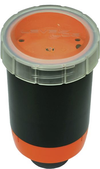
The product LevelLog
The development of the LevelLog responds to the request for measurement the data of the ground-water level and to storage these data. Thereafter the collected data has to be easy to reproduce.
The measurement principle of the LevelLog is based upon sonar technology. This results in a contactless measurement without physical contact between the measuring instrument and the groundwater.
The measurement results are ‘ logged ‘ (stored). The LevelLog has the options to set an interval and the measurement frequency to your own liking. By using a mobile device such as a tablet or a laptop running the LevelLog application, the logged measurement data and status information can simply be read and presented. Presentation of the data can be both in graphical and tabular form.
Discover how it works
Possible problems as contamination or impurities in barometric fluctuations and conversions just avoid this
The LevelLog has a measuring range of 20 cm to 20 m depth and is used on monitoring wells with a diameter between 25 mm and 63 mm.
The LevelLog application enables you to synchronies your own data with the data on the centralized data server. In this way the LevelLog-operator gets access to the measurement data that was sent via GPRS. The data can be accessed via USB as well as the centralized data can be shared with others.


